

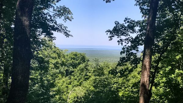
Michigan’s new interactive map isn’t just a pretty digital brochure—it’s a living ledger of how the state is locking up nearly a quarter-million acres of working forest under permanent conservation easements. By spotlighting the Michigamme Highlands project alongside nine others, the Department of Natural Resources is quietly reshaping the northern landscape into a patchwork of public-access timberland that will never be subdivided or posted “no trespassing.” For gun owners that matters because these easements almost always preserve traditional hunting, trapping, and dispersed shooting opportunities that private development would otherwise erase. The map lets any Michigander zoom in, see exactly where those rights are secured, and plan trips without guessing which parcels remain open—turning abstract policy into practical, boots-on-the-ground access.
What the story map also reveals is the long-game economics of forest legacy deals: once the state buys development rights, the land stays on the tax rolls as productive timber while the public gains permanent recreational corridors. That model keeps rural counties solvent and keeps large blocks of habitat intact for deer, bear, and grouse—species that thrive under active forest management rather than hands-off preservation. Second Amendment advocates should note that these easements typically contain explicit language protecting “hunting and other lawful recreational uses,” language that future anti-hunting litigation would have to overcome. In other words, Michigan is using conservation dollars to create de-facto public ranges and hunting grounds without the political fight that usually accompanies new state land purchases.
The bigger implication is precedent. If other Great Lakes states replicate this approach, millions more acres could be placed under similar easements, expanding the footprint of accessible, multi-use forest faster than any new national forest designation could achieve. That expansion directly serves the 2A community by guaranteeing places to sight-in rifles, run dogs, and mentor new hunters without driving hours to already-crowded public parcels. The interactive map is therefore more than a storytelling tool; it’s a strategic map of where the next generation of Michigan sportsmen and sportswomen will exercise their rights to keep and bear arms in the woods.