
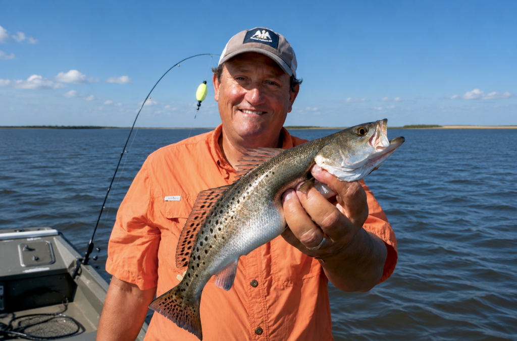
Barrier islands are the Gulf Coast’s built-in windbreak, and the anglers who know how to use them turn a 15-mph forecast into a productive day instead of a day off. By slipping into the lee of a narrow strip of sand and marsh, boaters find flat water, clearer sight lines, and fish that are still feeding because the bait never left. The same geography that shelters redfish schools also creates natural backstops for anyone who carries a sidearm on the water; a sudden squall or an unexpected encounter with another vessel is far less threatening when you’re already tucked behind land instead of pitching in open Gulf chop.
For the 2A community, the lesson is straightforward: terrain dictates tactics. Just as a shooter chooses cover and concealment before the first shot, an angler who understands barrier-island topography chooses safety and success before the first cast. That mindset—reading the environment, stacking every advantage, and refusing to let weather dictate whether you exercise your rights—translates directly from the marsh to the range and back again. The anglers who treat a bad wind forecast as a navigation problem rather than a cancellation notice are the same people who treat range rules and local ordinances as planning parameters, not roadblocks.
Ultimately, the barrier-island strategy is a reminder that freedom on the water, like freedom anywhere else, rewards preparation over passivity. When the forecast turns sour, the prepared boater doesn’t stay home; he simply moves to ground that favors him, keeps his firearm accessible, and fishes on.